


Engh Voting District, Okanogan County, Washington
About
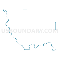
Outline

Summary
| Unique Area Identifier | 687718 |
| Name | Engh Voting District |
| County | Okanogan County |
| State | Washington |
| Area (square miles) | 0.33 |
| Land Area (square miles) | 0.33 |
| Water Area (square miles) | 0.00 |
| % of Land Area | 100.00 |
| % of Water Area | 0.00 |
| Latitude of the Internal Point | 48.41438220 |
| Longtitude of the Internal Point | -119.48933540 |
Maps


Graphs
Select a template below for downloading or customizing gragh for Engh Voting District, Okanogan County, Washington


Neighbors
Neighoring Voting District (by Name) Neighboring Voting District on the Map
- Aston Voting District, Okanogan County, WA
- Omak 11 Voting District, Okanogan County, WA
- Omak River Voting District, Okanogan County, WA
- Sand Flat Voting District, Okanogan County, WA
- West River Voting District, Okanogan County, WA